In order to detect and quantify the pollution linked to the July floods in Wallonia’s waterways, the Institut Scientifique de Service Public (ISSeP) is increasing the number of sampling points in the affected areas to analyze water quality, and is extending its measurements to a whole range of micro and macro-pollutants, including hydrocarbons.
In addition to their direct impact on infrastructure and local residents, the heavy flooding that hit Wallonia in mid-July also resulted in hydrocarbon pollution from the many leaking tanks. Various potentially dangerous chemicals were also spilled, following damage to businesses and a number of private homes.
What’s more, some public wastewater treatment plants have also been badly hit, and will therefore be unable to perform their sanitation role for several months until they are restored.
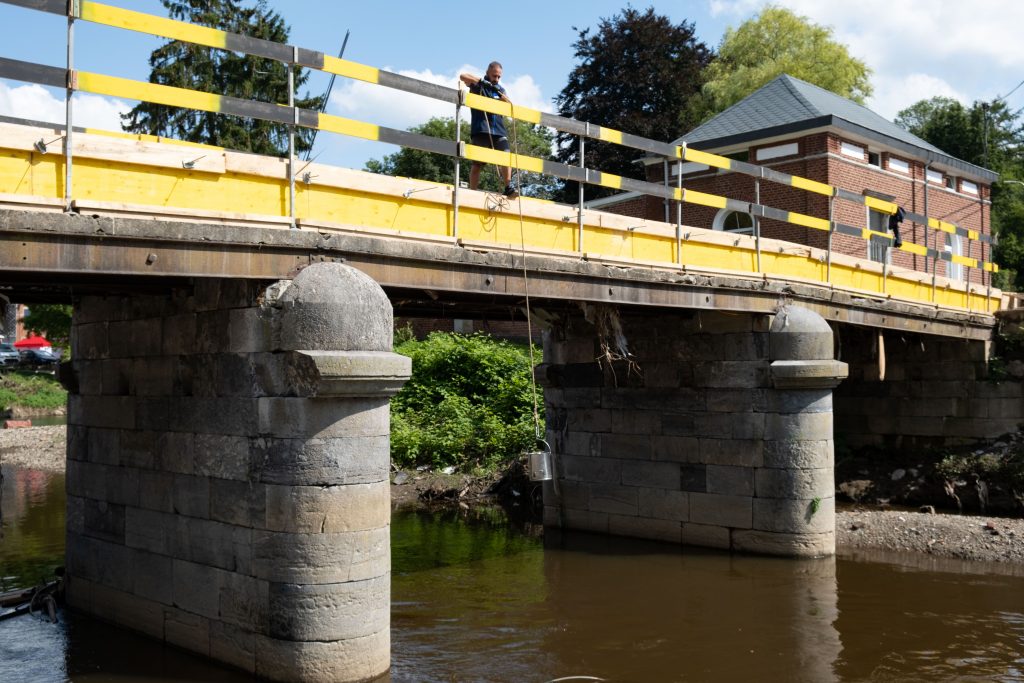
Unfortunately, a more or less long-term impact on the environment is likely, which is why the Minister of the Environment, Céline Tellier, has requested an assessment of the environmental status of particularly affected areas. In order to assess the situation, ISSeP (which manages Wallonia’s surface water monitoring network) has refocused its river quality measurement resources on areas affected by flooding.
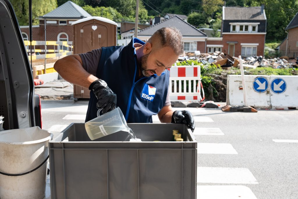
Some twenty additional measuring points have been added to those routinely monitored in the network in 2021. A total of 184 measuring stations are now scattered across Wallonia. 18 points are located around the Vesdre Valley, which is particularly hard hit. Water samples are taken there directly by ISSeP staff. Sampling frequencies have been increased and the analytical volume has been almost doubled in the impacted areas, in order to more accurately monitor the evolution of this pollution.
Which pollutants are targeted?
Analytical programs have been extended to cover a whole range of micro- and macro-pollutants at all stations located in the affected areas. The focus has been on quantifying hydrocarbons (global indices, BTEX, PAHs, etc.), but other pollutants resulting from flooding will also be monitored, such as heavy metals, pesticides, etc.
These additional measures will run until at least the end of 2021, and may be extended locally depending on the concentration levels found. Results are usually available within three months, but given the urgency of the situation, our teams will be working hard to shorten this timeframe, especially where hydrocarbons are concerned. The ISSeP equipment, designed for long-term monitoring missions, is used for a variety of analyses and methods, each requiring specific set-ups.
The Institute is also providing its expertise and scientific support for other environmental matrices impacted by this natural disaster (deposition of polluted sediments and sludge, release of waste into the environment, technical support for clean-up stages, post-disaster indoor air quality measurements, etc.).
These various actions are integrated and carried out in collaboration with SPW – more specifically SPW Agriculture, Natural Resources and Environment – and the other UAPs, to provide a global solution in support of disaster victims and local authorities. For more information on all the actions implemented by Wallonia, visit https://www.wallonie.be/fr/inondations.