These data should enable us to better manage our natural resources, our environment and the risks that affect us. On a European scale, they play an important role in the dynamic monitoring of the territory. The European Commission and the European Space Agency have launched a new era of free distribution of data from SENTINEL earth observation satellites. European research programs have enabled the development of operational services for regional and local authorities. The round table on October 23 will bring together Walloon and European players to optimize the integration of this data into public competencies, with a view to improving citizen services in tomorrow’s digital Wallonia 4.0. This day is an opportunity for you to help shape this integration.
Skywin, a Walloon aerospace cluster whose competencies include the development of Earth observation instruments and services, and ISSeP, as a Public Interest Organization using space data for its environmental characterization and risk assessment missions, have joined forces to organize this event.
Satellite applications and telecommunications unit – Cerema, D. TRIENSOUTROT, CEREMA.
Satellite imagery for crisis observation, D. TRIENSOUTROT, CEREMA.
Satellite imagery for regional land use, D. TRIENSOUTROT, CEREMA.
Very high resolution: a tool adapted to urban issues, D. TRIENSOUTROT, CEREMA.
“67 Uses of Copernicus….”, R. AYAZI, NEREUS.
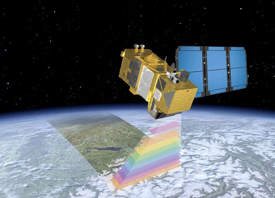
Copernicus the EU’s Earth Observation Programme, D. QUINTART, DG GROW.
Application de la télédétection 3D à la gestion des forêts et des cours d’eau, P.LEJEUNE, Université de Liège – Gembloux Agro-Bio Tech.
Suivi des états de surface de la Wallonie par télédétection : applications agricoles, forestière et en biodiversité, J. RADOUX, Université catholique de Louvain.
CASIM – CArtographie des Surfaces IMperméables en Wallonie, E. Wolff, Université Libre de Bruxelles.
Applications in urban environments, M. BINARD, Université de Liège.
Geotechnical archives toolbox for architectural conservation in Belgium – GEPATAR, P-Y. DECLERCQ, Royal Belgian Institute of Natural Sciences.
Agriculture de précision et suivi des cultures à l’échelle de la parcelle, V. PLANCHON, Centre wallon de recherches agronomiques.
Une alternative satellitaire dans les méthodologies d’analyse de risque: Réponse à la directive européenne ” Mining Waste “, N. STEPHENNE, Institut scientifique de service public.
EO Regions! Boosting the geospatial services market with SENTINEL data in WalloniaP. LEDENT, SPACEBEL.
Intelligent combination of multi-sensor images for optimized updating of geographic databases: V. TIGNY, GIM.
Le Spatial dans Horizon 2020 Focus ” Observation de la terre “, B. HERRY, NCP Wallonie.
STEREO III, the Belgian earth observation research program and technology transfer to administrations, J-C Schyns, BELSPO.